Togo: The Togolese government continues its quest for excellence in land governance

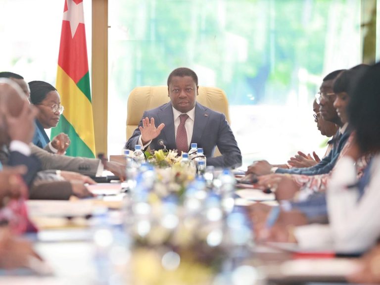
President Faure Gnassingbé of Togo has embarked on a proactive approach to strengthen land governance by initiating an ambitious project to establish a National Geographic Institute. Led by the Ministry of Urban Development, Housing, and Land Reform, this initiative is part of a broader effort to modernize and secure land rights in the country.
The proposal for creating this new entity has been officially presented to the government, highlighting the Togolese authorities’ firm commitment to addressing persistent challenges related to geographic information systems and the production of reliable cartographic documents.
The primary objective is to ensure increased security of land rights for owners, which is essential for fostering economic and social development.
The proposed National Geographic Institute will evolve from the General Directorate of Geographic Information and Cartography, with its main mission being the promotion of geolocation, digitization, storage, and sharing of geospatial data across all sectors.
Endowed with administrative and financial autonomy, this institute will be able to effectively and independently carry out its missions.
This initiative is part of a broader trajectory of modernizing cadastral practices and securing land tenure in Togo.
In recent years, the country has accelerated its efforts in dematerializing cadastres, adopting advanced technologies to facilitate land transactions and ensure transparency and fairness in land distribution.
The establishment of this National Geographic Institute marks a significant step in Togo’s efforts to improve land governance.
By strengthening the country’s geographic information capacities and ensuring the security of land rights, this initiative will contribute to boosting socio-economic development and enhancing the confidence of both domestic and international investors in the Togolese land market.
Chantal TAWELESSI


